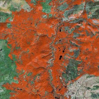
Still, for those who would disagree about the artistic power of crappy Crayola-toned satellite photos, I will make my argument with some rare (for this blog) color photos. These are taken directly from Google Maps, though I was not smart enough when snapping the shots with PrintScreen to save the url for each location. If you enjoy these, go do some Googlexploring of your own. Being that most of Alaska is untamed wilderness, it's a great place to start...


If you find any good stuff on your own (in Alaska or elsewhere) be smarter than I was -- post the url as a comment. Happy 'sploring.

No comments:
Post a Comment